Hope you are having a good Monday! We probably got a little spoiled over the weekend, with some very crisp, comfortable mornings. In fact, our low of 55 Saturday morning was a new record, and Sunday morning's low of 56 tied a record. This morning we didn't get quite as cool, with a little higher moisture keeping things at 60.
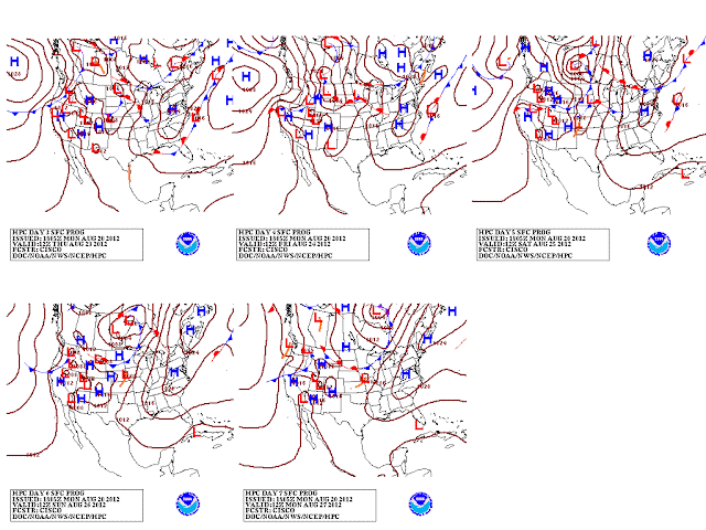
Hard to come up with a lot to analyze this week. It looks like a pretty quite week in the weather world around here. We still have a pretty deep trough over the eastern U.S. today and tomorrow, and that is keeping a few clouds around, as well as keeping temperatures a little below average.
As we check out tomorrow's 1PM 500 mb mid-level chart, there is a shortwave trough (pocket of energy represented by the green/yellow colors) passing just to our northeast, which may lead to a couple of isolated showers or storms. Not sure that we'll have much moisture to work with, so we'll keep this at a 20% chance.
After tomorrow, things start to resemble late August again. The trough moves east, allowing the ridge and associated heat out west to build back in our direction. Nothing too extreme, but we'll at least get back to numbers close to or just above our seasonal averages (avg high around 89....avg low around 66). High pressure at the surface will move east, allowing for southerly winds to bring in the warmth and higher humidity.
By the weekend, some small chances of mainly heat of the day type storms will return....but nothing organized on the horizon.
The place to watch this week for active weather will be in the Atlantic, where Issac may develop within a day or two:
Notice the area circled in red....that is where we find a currently disorganized disturbance. However, the National Hurricane Center gives it an 80% chance of becoming a tropical depression within 48 hours. This system will head toward the Lesser Antilles over the next few days...but none of the reliable models strengthen this to a hurricane over the next 5 days. It will continue to battle some dry air until it gets closer to the Caribbean. There are some long-range models that bring this system toward the U.S. mainland toward the end of the month, but any sort of forecast of how this will affect the mainland would just be a guess. Historically, storms at this position at this point in the year have about a 16% of hitting the U.S. We'll have to keep an eye on this one though.
Here's a peak at your 7-Day Planning Forecast:


No comments:
Post a Comment